Search This Blog

Saturday, August 9, 2014

Brighton Beach Range Rear Lighthouse, Charlottetown, Prince Edward Island

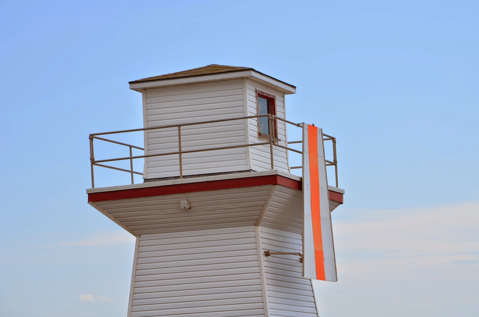
While there has been a station at this location since 1890, the current lighthouse was built in 1969. It is a tall concrete tower and sits on private property in a residential area on Queen Elizabeth Drive just North of Victoria Park and Northeast of the Brighton Beach Range Front Lighthouse in Charlottetown, PEI. The gallery flares out from a concrete hexagonal tower that is 60 feet tall. Photos taken in July 2014.


Brighton Beach Front Range Light, Charlottetown, Prince Edward Island

The Brighton Beach Front Range Light is located on the Eastern Bank of the North (Yorke) River just North of Victoria Park in Charlottetown, Prince Edward Island. The light dates to 1890 and in 2013 the City of Charlottetown took ownership of the light. Photos were taken in July 2014.


Covehead Harbour Lighthouse, Prince Edward Island National Park, Prince Edward Island

The current Covehead Harbour Lighthouse was built in 1975 replacing the previous light that dated to 1967. There however was a previous light station in the area dating to 1879. The current lighthouse is just East of the entrance to Covehead Harbour on the North Shore of Prince Edward Island and is located inside the Prince Edward Island National Park. The lens in the lighthouse is over 100 years old and was relocated to this lighthouse from Dalhousie, New Brunswick. On the side of the lighthouse is a plaque giving information about the severe storm known as the Yankee Gale of 1851 that killed almost 200 souls.  Photos were taken in July 2014.


Summerside Outer Range Rear Lighthouse, Summerside, Prince Edward Island

The Summerside Outer Range Rear Lighthouse was built in 1991 along with the Outer Range Front Lighthouse and is one of the newest lighthouses on the island. It sits inland behind the front lighthouse and is adjacent to Highway 11 on the West side of the city of Summerside, PEI. In the first photo you can see the proximity to the front light.  Photos taken in July 2014.


Summerside Outer Range Front Lighthouse, Summerside, Prince Edward Island

The Summerside Outer Range Front Lighthouse is located on the shore at the West end of the city of Summerside, Prince Edward Island. It was built in 1991 which makes it one of the newest lights on the island. Summerside is the second largest city on Prince Edward Island. Photos taken in July 2014.


Fish Island Lighthouse, Cabot Beach Provincial Park, Malpeque, Prince Edward Island

This light from 1961 was originally on Billhook Island which is at the West entrance to Malpeque Bay. When erosion on the island threatened the lighthouse in 1989, volunteers sawed it in half to save it and it was transported by a Canadian Forces helicopter to its current location at Cabot Beach Provincial Park on the East side of the bay and reconstructed at that point.  It is no longer active and is a tourist attraction. It was also used as a set on the Canadian Broadcasting Corporation television series Emily of New Moon which ran in the late 1990's. Photos taken in July 2014.


Cape Tryon (Old) Lighthouse, Park Corner, Prince Edward Island

The Cape Tryon (old) Lighthouse was formerly situated at Cape Tryon which is Northwest of New London Harbour.  It was built in 1905 and served as a lighthouse until 1967. It has been moved twice and its current location is at Park Corner, PEI. It now serves as a summer cottage. Photos taken in July 2014.

Malpeque Outer Range Rear Lighthouse, Darnley, Prince Edward Island

The Malpeque Outer Range Rear Lighthouse is located on Darnley Point just east of the entrance to Malpeque Bay and sits in a field South of the Range Front Lighthouse.  It is believed the wooden structure was constructed in the early 1920's. When I photographed it in July 2014 it was obvious it was in need of some work.


Malpeque Outer Range Front Lighthouse, Darnley, Prince Edward Island

The Malpeque Outer Range Front Lighthouse is located on Darnley Point just east of the entrance to Malpeque Bay on the North shore of central Prince Edward Island. The light is a wooden tower on a bluff just above the beach to the east of the large Twin Shores Campground. The lighthouse was built in the early 1920's however the station was established around 1889. Photos were taken in July 2014.


New London Range Rear Lighthouse, French River, Prince Edward Island

Established in 1876 the New London Range Rear Lighthouse sits on the end of the cape at the entrance to New London Harbour in North Central Prince Edward Island, Northwest of the city of Charlottetown. The light remains active as an assistance to fishermen in the area. It is a 43 foot high wooden tower with attached keeper's quarters. For a time the keeper's quarters were rented to individuals, however this practice has been discontinued. The front range light in the area was demolished in 2006. It is noted that just a short distance from this lighthouse is the Yankee Hill Cemetery where it is believed that a number of American Fishermen are buried having drown in the Yankee Gale of 1851. Photos were taken in July 2014.


Cape Spear Revisited, Cape Spear, Newfoundland

It had been 16 years since I first visited the two lighthouses located at Cape Spear. Cape Spear is on a peninsula Southeast of St. John's, Newfoundland. It is near the most easterly point of North America on the Atlantic Ocean. I thought I would post a few new photos since the ones in the first post on the blog were scans of photographs in the pre-digital era. The new light is a concrete structure and the tower is closed. The old lighthouse now serves as a museum, however the lantern is not in the building. Photos taken in July 2014.


Ferryland Head Lighthouse, Ferryland, Newfoundland

The Ferryland Head Lighthouse sits at the end of a peninsula that juts out into the ocean to the Southeast of the village of Ferryland on the Avalon Peninsula South of St. John's, Newfoundland. The lighthouse is a cylindrical cast iron tower painted red and there is an adjacent keeper's house. The light is active, however the keeper's house has been converted into a restaurant that serves "lighthouse picnics" to those who make the 2.5 km hike from the end of the road to the lighthouse. At the start of the peninsula is the Avalon Colony site which is an active archaeological dig. The light was first established in 1871. Unfortunately the day we made the trek, the fog kept swirling which affected the quality of my photos. Photos taken in July 2014 


.

Brigus (North Head), Brigus, Newfoundland

The town of Brigus is a heritage town located on Conception Bay north of St. John's, Newfoundland. There are a number of recognized heritage buildings in the town including the lighthouse. The lighthouse is located on the North Head across the bay from the town itself and is accessible by a hike along the Brigus Head trail.  The lighthouse is a cylindrical cast iron tower with red and white vertical stripes and was erected in 1884. It was electrified in 1931 and the former keeper's house demolished at that time. Unfortunately the time did not permit me to make the hike on this trip so I was only able to obtain a distant view from across the bay. Photo taken in July 2014.

Fort Amherst Lighthouse, St. John's Newfoundland

Fort Amherst was a fort established by the British in 1777. It is located on the South Head at the entrance to the narrows into St. John's Harbour. The first lighthouse, a stone tower, was established in the fort in 1813. There has been a lighthouse at the site since that date. The current wooden structure and keeper's houses were built in 1951. The site is directly across the water from Signal Hill and the lights at Cape Spear can be seen in the distance to the South East.


Photos taken in July 2014.

Monday, June 23, 2014

Clover Island Lighthouse, Kennewick, Washington

The Clover Island Lighthouse is the newest lighthouse in Washington State, constructed in 2010 during the revitalization project on Clover Island which sits in the Columbia River at Kennewick, Washington. The U.S. Coast Guard has deemed this light an aid to navigation and there is a U.S.C.G. Aids to Navigation station located on Clover Island to the east of the lighthouse. The lighthouse sits on the the west end of the island which is between two bridges linking Kennewick and adjacent Pasco (the Blue Bridge and the newer Cable Bridge). Photos taken in June 2014.